
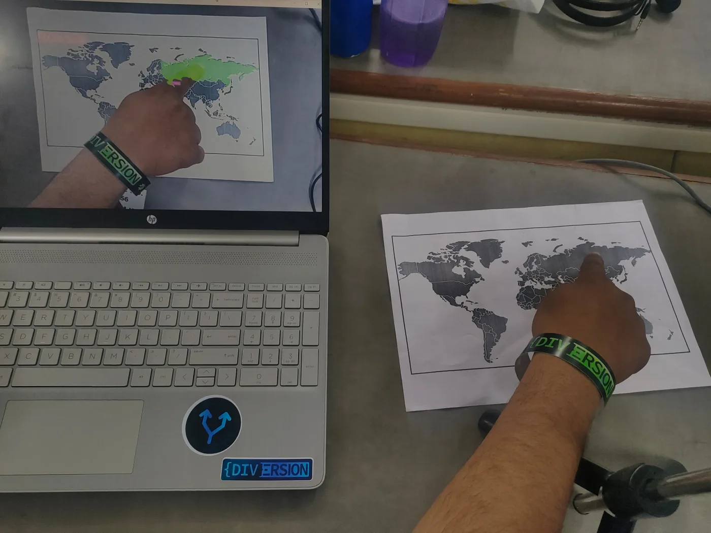
Built an interactive geography learning tool integrating a physical world map with real-time digital overlays using computer vision.
Achieved 90%+ country-boundary detection accuracy by calibrating contour-matching parameters with NumPy. Packaged the serialised model with Pickle, reducing reload latency by 80% compared to re-training on each start.
Winner at MLH-backed Diversion 2k24 — 3rd place & Best Beginners Team from 150+ teams.
Team: Debug Divas · Hackathon: Diversion 2k24
View the project on Devfolio · My Devfolio profile
Challenges
- Reliable boundary detection across lighting conditions
- Model reload latency on limited hardware
Solutions
- Contour-matching calibration with NumPy
- Pickle-serialised model packaging